

|
SOLUTIONS + EXPERIENCE = RESULTS Each of our experts have at least 20 years of experience using industry standard and customized solutions to provide the absolute best service. |
||||
|
IT'S ALL ABOUT THE SCIENCE
|
||||
 |
OUR SECRET SAUCE
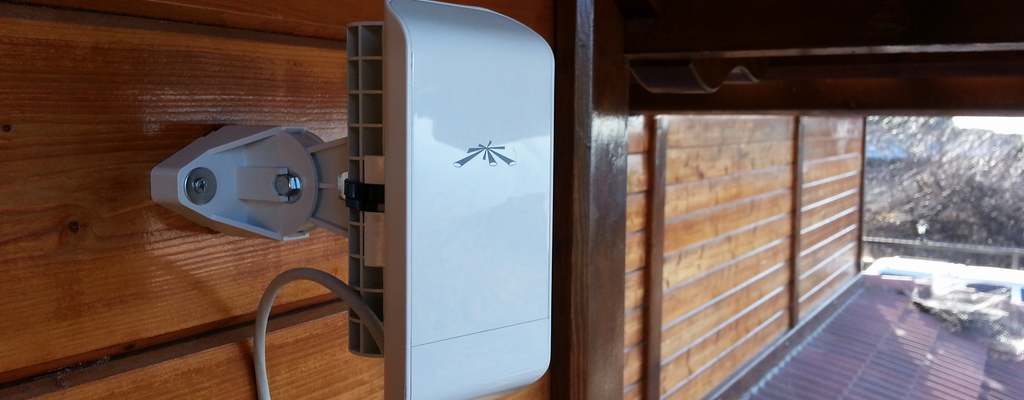
What separates us is the way we operate. We incorporate specialists from various fields to create a flow of knowledge that is especially efficient. From computer and network engineers, IT support specialists to building and construction experts. Unlike regular IT, we don't just keep up on current trends and push them to customers. We are members of various professional groups which develop all of these amazingly new technologies so our understanding is from the ground up. All technology is built on sound science and as Information Engineers, we need to understand the foundations of the technology. This means we need to understand the science behind it. Read More → |
|||
|
MEGAPHAT METRO®
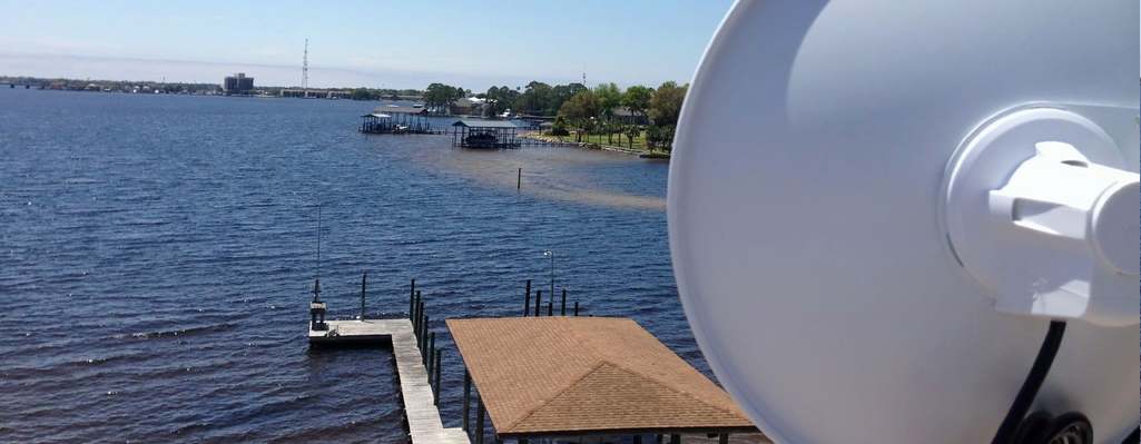
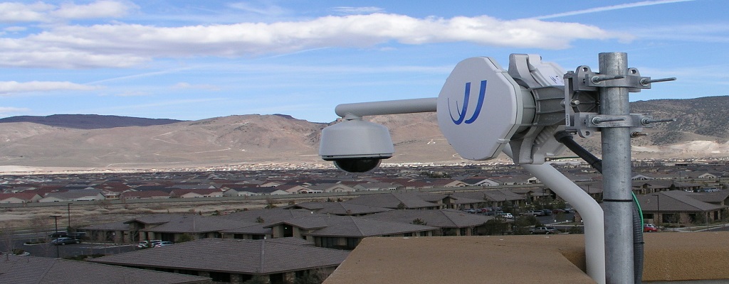
We are proud to announce that after months of development and testing our new wireless survey tool for the New York City Metropolitan area, Megaphat Metro® is nearly completed! Megaphat Metro® is a highly customizable product for Fixed-Wireless installation assessment built with our custom GIS database which you can create your own and use existing radios and antennas, create customers groups, add link sites, create links and display link details. Megaphat Metro® also has statistical insights to creating wireless links on different bands (900Mhz to 80Ghz), display obstructions, provides antenna pointing data and even allows you to export KML files to view in Google Earth Pro with actual building data with true heights and ground elevations. Read More → Check out our YouTube channel to see our promotional demo! |
||||
|
||||